GS 3: Science & TechnologyPrelims
As NavIC loses atomic clock, India’s own GPS remains a challenge, Pg14
NavIC faces challenges as atomic clock failure hits satellite, raising concerns over India's GPS alternative reliability and future.
Practice MCQs
862 Students attempted
Key Highlights:
- ISRO announced that the atomic clock on IRNSS-1F stopped working on March 15, 2026, after completing its 10-year mission.
- NavIC, India's regional navigation system, aims to provide positioning data over the Indian subcontinent and up to 1500 km around it.
- The IRNSS constellation includes satellites IRNSS-1B, 1C, 1F, 1I, and NVS-01, which provide positioning data.
- Newer NavIC satellites feature indigenously developed atomic clocks and a longer mission life of 12 years.
Detailed Insights:
- NavIC was designed to offer location accuracy of around 10 meters over India, providing better signal availability than GPS in challenging terrains.
- Several atomic clock failures have occurred on initial NavIC satellites, necessitating the launch of replacement satellites to maintain system functionality.
- IRNSS-1A is almost defunct, while IRNSS-1B and 1C have exceeded their 10-year mission lives, impacting the overall constellation's effectiveness.
- NVS-02, a new-generation satellite, failed to reach its final orbit due to an electrical failure after being launched in January 2025.
- A 2018 report by the CAG highlighted delays in developing the user segment for NavIC, affecting its widespread adoption and utility.
- New-generation NavIC satellites transmit signals in the L1 frequency, enhancing interoperability with GPS and enabling use in wearable devices.
Scientific/Technical Concepts Involved:
- Atomic Clock: A clock that uses the resonant frequency of atoms to measure time with extreme accuracy.
- IRNSS (NavIC): India's regional navigation satellite system designed to provide accurate positioning data over the Indian subcontinent.
- L1, L5, and S Frequencies: Radio frequencies used by navigation satellites to transmit signals for positioning and data communication.
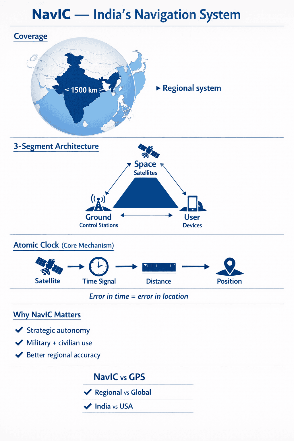
NavIC

SuperKalam is your personal mentor for UPSC preparation, guiding you at every step of the exam journey.
Download the App


STUDY RESOURCES
CONTACT US
ⓒ Snapstack Technologies Private Limited