GS 1: Physical GeographyGS 3: Disaster ManagementGS 3: Environment & EcologyPrelimsGS 3: Disaster and Disaster Management
How El Niño Shaped Path, Intensity of Cyclone Arnab, Pg4
El Niño's strong influence shaped Cyclone Arnab's rapid intensification and unusual path towards Andhra Pradesh, causing severe flash floods and heavy rainfall.
Practice MCQs
818 Students attempted
Key Highlights:
- Cyclone Arnab, the first cyclone of 2026 in the North Indian Ocean basin, made landfall on India's east coast on Wednesday.
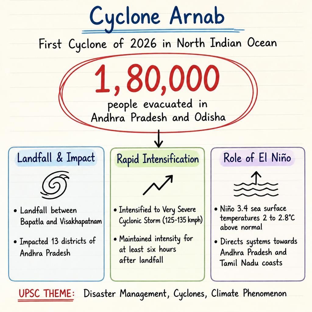
- It intensified rapidly into a Very Severe Cyclonic Storm with wind speeds of 125-135 kmph before weakening to a Severe Cyclonic Storm post-landfall.
- The cyclone crossed the coast between Bapatla and Visakhapatnam, impacting 13 districts of Andhra Pradesh and Yanam district of Puducherry.
- Over 1,80,000 people were evacuated in Andhra Pradesh and Odisha ahead of its arrival.
- The path and rapid intensification of Cyclone Arnab were significantly influenced by the ongoing El Niño phenomenon, forecast to be among the strongest on record.
Cyclone Arnab.jpg
Detailed Insights:
- Cyclone Arnab originated as a low-pressure system in the southeast Bay of Bengal on October 23, intensifying into a cyclone by October 26.
- The India Meteorological Department (IMD) issued an 'orange' alert for heavy rainfall in Odisha, Jharkhand, Bihar, east Uttar Pradesh, and east Madhya Pradesh.
- Unlike typical cyclones that weaken quickly, Cyclone Arnab maintained its intensity for at least six hours after landfall due to its stationary position over Narsapur and Yanam.
- During El Niño years, cyclones in the North Indian Ocean tend to form at lower latitudes, directing them towards the Andhra Pradesh and Tamil Nadu coasts rather than Odisha and West Bengal.
- Warm ocean temperatures of 26 degrees Celsius or above, at depths of 50-100 meters, provide the necessary fuel for tropical cyclones to form and intensify rapidly.
- The Niño 3.4 region of the equatorial Pacific recorded sea surface temperatures 2 to 2.8 degrees Celsius above normal, indicating strong warming.
- The cyclone's remnants are expected to bring very heavy rain to parts of Telangana, Chhattisgarh, Jharkhand, Bihar, Gangetic West Bengal, eastern MP, and eastern UP.
Scientific/Technical Concepts Involved:
- El Niño: A climate pattern characterized by the abnormal warming of surface waters in the equatorial Pacific Ocean, influencing global weather.
- Tropical Cyclone: A rapidly rotating storm system characterized by a low-pressure center, strong winds, and heavy rainfall, fueled by warm ocean waters.
- Landfall: The event of a tropical cyclone's eye or center moving from over water onto a landmass.
- Monsoon Trough: A band of low pressure that shifts seasonally, bringing rainfall to different parts of India, and is affected by El Niño conditions.

SuperKalam is your personal mentor for UPSC preparation, guiding you at every step of the exam journey.
Download the App


STUDY RESOURCES
CONTACT US
ⓒ Snapstack Technologies Private Limited